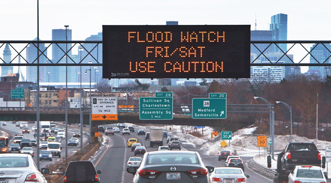
After January’s “bomb cyclone” dumped over a foot of snow along much of the Northeastern Seaboard, many of the same areas are bracing for a nor’easter with potentially dire outcomes. Winter Storm Riley, which is currently undergoing bombogenesis, is expected to heavily flood multiple metropolitan areas, including Long Island, New Jersey, and Boston. The latter city is expected to be especially hard hit (not long after Boston Harbor flooded in January when historically high tides sent dumpsters afloat), and a full moon will send tides soaring with waves of up to 8 feet.
Via USA Today, the National Weather Service in Boston is urging folks to treat this weather event with the utmost seriousness while warning, “For those living along the coast, this is a LIFE & DEATH situation.” In Boston, one train line has already shut down over flooding after the NWS in Boston acknowledged this storm as a “BEAST!”
[8a] WHAT A BEAST! GOES-16 set in 1-minute scan mode; check it out: https://t.co/q8KnWbZaMq #satellites #GOES16 pic.twitter.com/Gp3LljTQEp
— NWS Boston (@NWSBoston) March 2, 2018
CNN places the total number of people in the path of this storm at 80 million. Travel delays will run rampant (Bloomberg reveals that 1,800+ flights have already been cancelled), but that may be the least of the Northeast’s concerns. Along with coastal flooding (extending through multiple high tides) stretching from Maine to New Jersey, howling winds will prevail throughout the weekend with possible gusts of up to 80 mph. Plentiful power outages are already impacting thousands and could spread along the entire coast, possibly extending into D.C. and Baltimore.
The Weather Channel reports that heavy, wet snowfall in New York will eclipse the usual seasonal levels. Over the past day, the town of Forestville (near Lake Erie) saw 22 inches of the white stuff. Whereas in parts of Pennsylvania and New York, residents heard rare thundersnow on Thursday evening. Throughout the weekend, parts of Ohio, New York, and Pennsylvania are expected to see further substantial snow accumulations ranging from 12-18 inches.
Outside of Buffalo, trees crumpled overnight under the weight of wet snowfall.
[10pm] – Spotter in Franklinville reporting 8.8 inches of heavy, wet snow. Trees struggling under the weight of the snow. Photo credit: Dustin Brisky pic.twitter.com/7flvXMTpNH
— NWS Buffalo (@NWSBUFFALO) March 2, 2018
In Watertown, Massachusetts, power lines are already on the ground, to an extreme.
Please avoid Arsenal St until further notice. pic.twitter.com/sCKFJK8aqt
— Watertown Police (@WatertownPD) March 2, 2018
(Via USA Today, National Weather Service, CNN, Washington Post, Bloomberg & Weather Channel)
