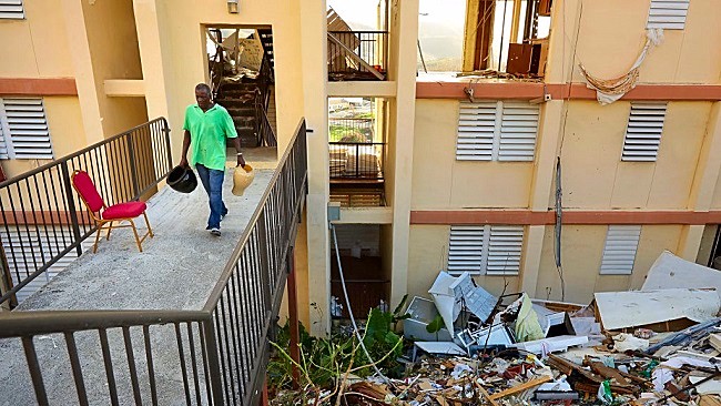
Over the weekend, weather experts tracking the project path of Hurricane Jose announced the formation of yet another tropical depression in the Atlantic. Initially identified as the fifteenth such depression this season, the storm quickly amassed enough strength to become Tropical Storm Maria late Saturday, and Hurricane Maria soon after. To make matters worse, predictions for the latest storm’s tracking indicate it will follow a path much like the one recently carved out by Hurricane Irma in the Caribbean and Florida. Seeing as how these devastated regions have only begun the recovery process, the timing couldn’t be worse.
According to the National Hurricane Center, Maria currently boasts average wind speeds of 74 to 110 miles per hour — thereby earning it the standard “Hurricane” classification. Come late Monday or early Tuesday, however, their models suggest the storm will garner the “Major Hurricane” distinction due to increased wind speeds of over 110 miles per hour. Maria’s bolstered profile is happening in large part due to what forecasters are calling “rapid strengthening,” and Guadalupe, Dominica, Martiniqu, St. Kitts, Nevi and Montserrat are already on alert.
Tropical storm conditions expected to reach portions of the Leeward Islands Monday. Rainfall and storm surge hazard information below #Maria pic.twitter.com/m7py3LYnXD
— National Hurricane Center (@NHC_Atlantic) September 17, 2017
So too is Puerto Rico, whose southern coast is currently susceptible to Maria’s project path. NBC News reports the storm could be “catastrophic” for the unincorporated U.S. territory, which remains devastated following Hurricane Irma. “There’s an excellent chance that Maria will be a major hurricane very close to Puerto Rico in 48 hours,” said meteorologist Bill Karins, who added the island hasn’t been hit by anything as strong as a Category 4 or 5 storm since 1928. Experts aren’t necessarily predicting Maria will become that powerful, though
(Via National Hurricane Center, Reuters and NBC News)
