
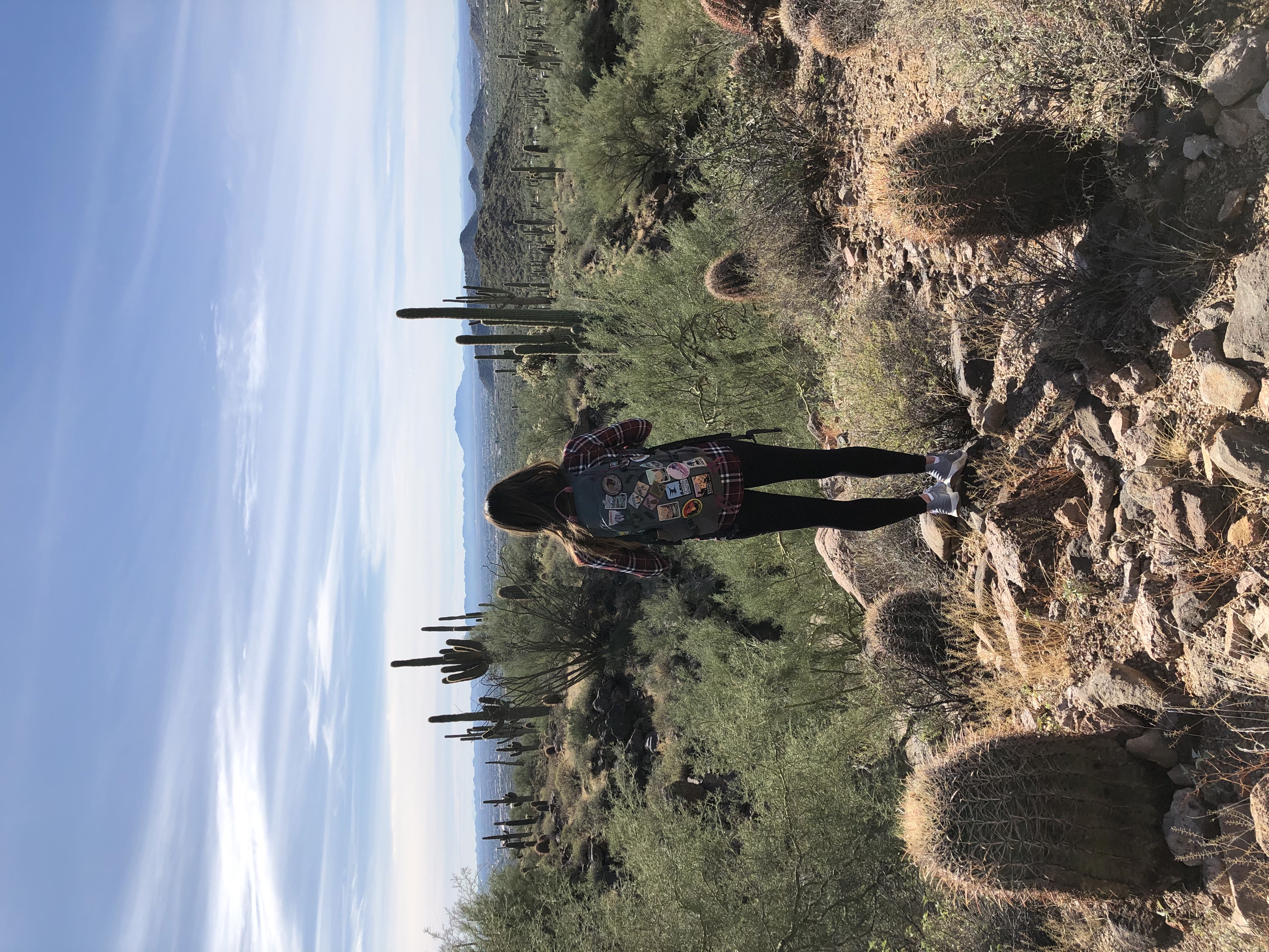
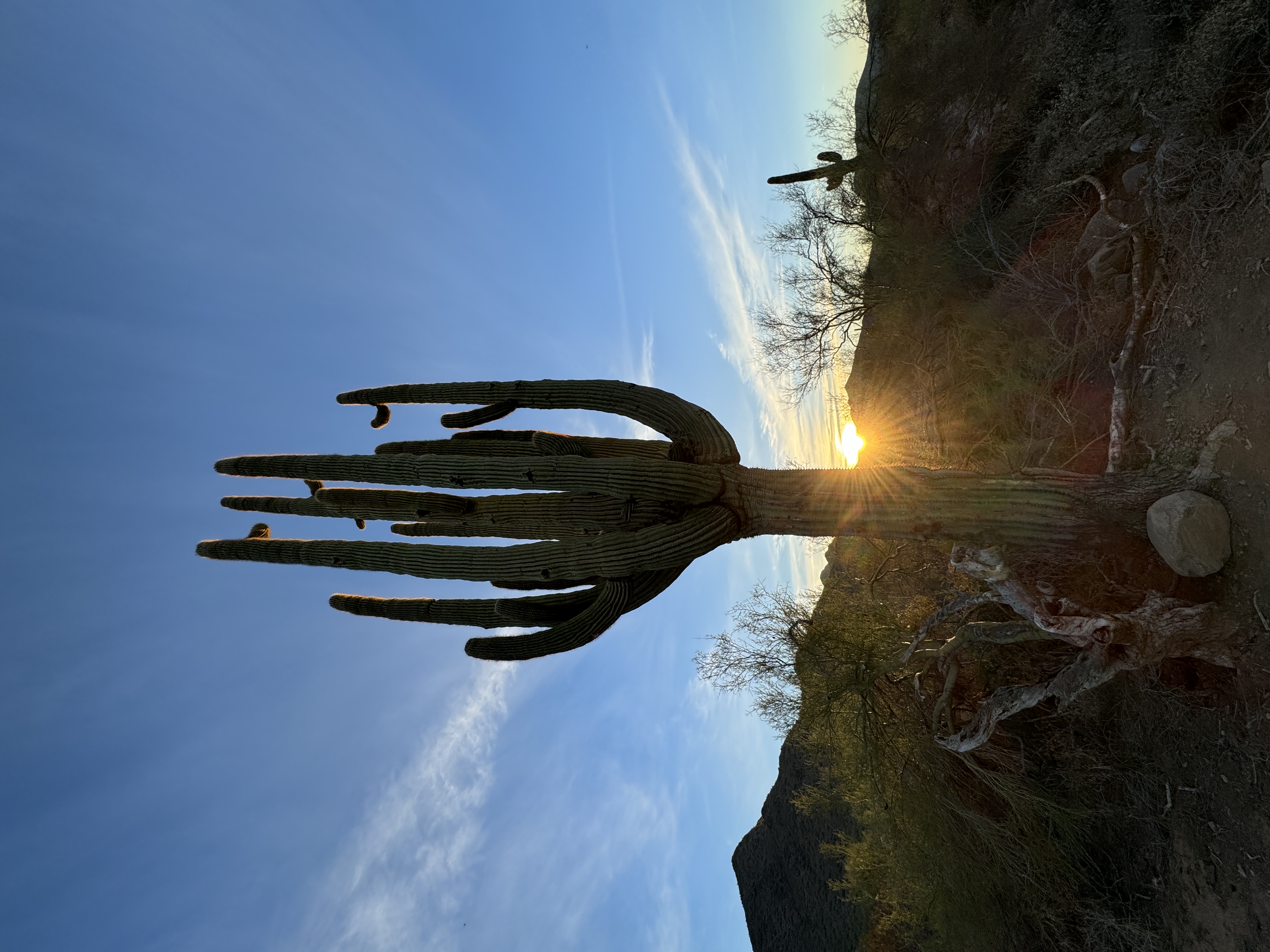
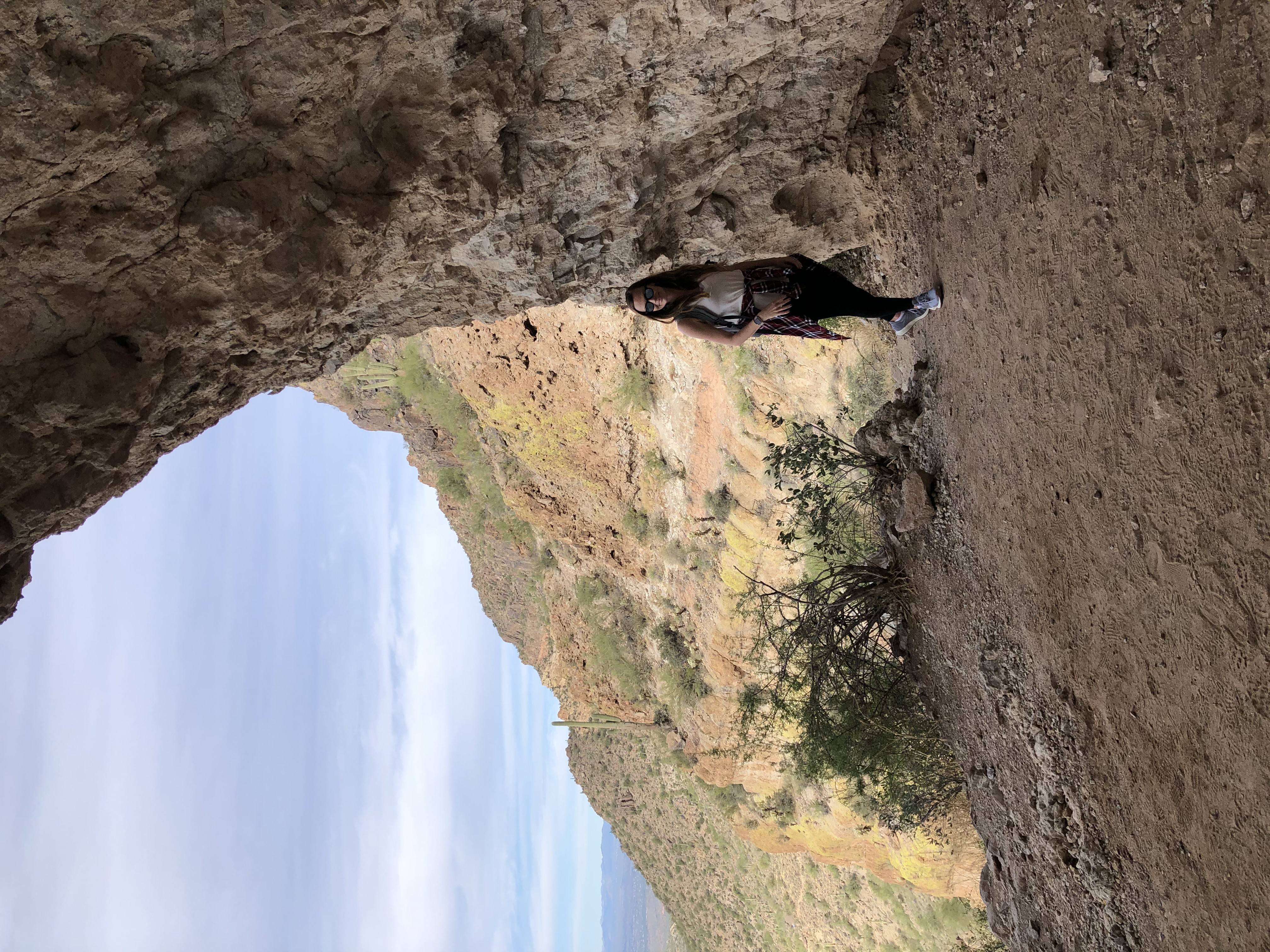
With its distinctive twin peaks (resembling the head and back of a camel), Camelback Mountain is a Phoenix landmark and a mainstay for local and visiting hikers. The popular hike offers stunning desert vistas and a challenging climb, but don’t be fooled; the trek to the summit of this 2,706-foot mountain is not easy.
So before you lace up your boots and get on the road to the trailhead, be sure to prepare for what’s ahead – here’s your complete guide.
How To Get To Camelback From Phoenix:
Camelback Mountain is just 20 minutes from downtown Phoenix, but before you get into your car and hit the road you’ll need to decide which of the two trailheads to the summit you want to hike – Echo Canyon or Cholla. Echo Canyon has a dedicated parking lot with restrooms and water, but is often packed – so leave early. Cholla Trail is street parking only in designated spots on Invergordon Road.
It’s important to note that parking in both areas are limited and fill up quickly, especially during peak season (October-April). Arrive early or consider using public transportation options so you’re not stuck spending the morning circling for a spot.
Echo Canyon vs. Cholla
Echo Canyon Trail:
Echo Canyon is considered the more challenging of the two trails to the summit of Camelback, with steeper inclines and sections that require some scrambling over large rocks. But after the grueling 1,2312 ft climb to the 2,680 ft summit, hikers are rewarded with panoramic views encompassing Phoenix and the surrounding desert landscape.
There is very limited shade on this trail, so plan your hike for the cooler morning hours and bring plenty of water, especially during the summer when hiking here can be dangerous.
Length: 2.6 miles round trip
Difficulty: Hard
Cholla Trail:
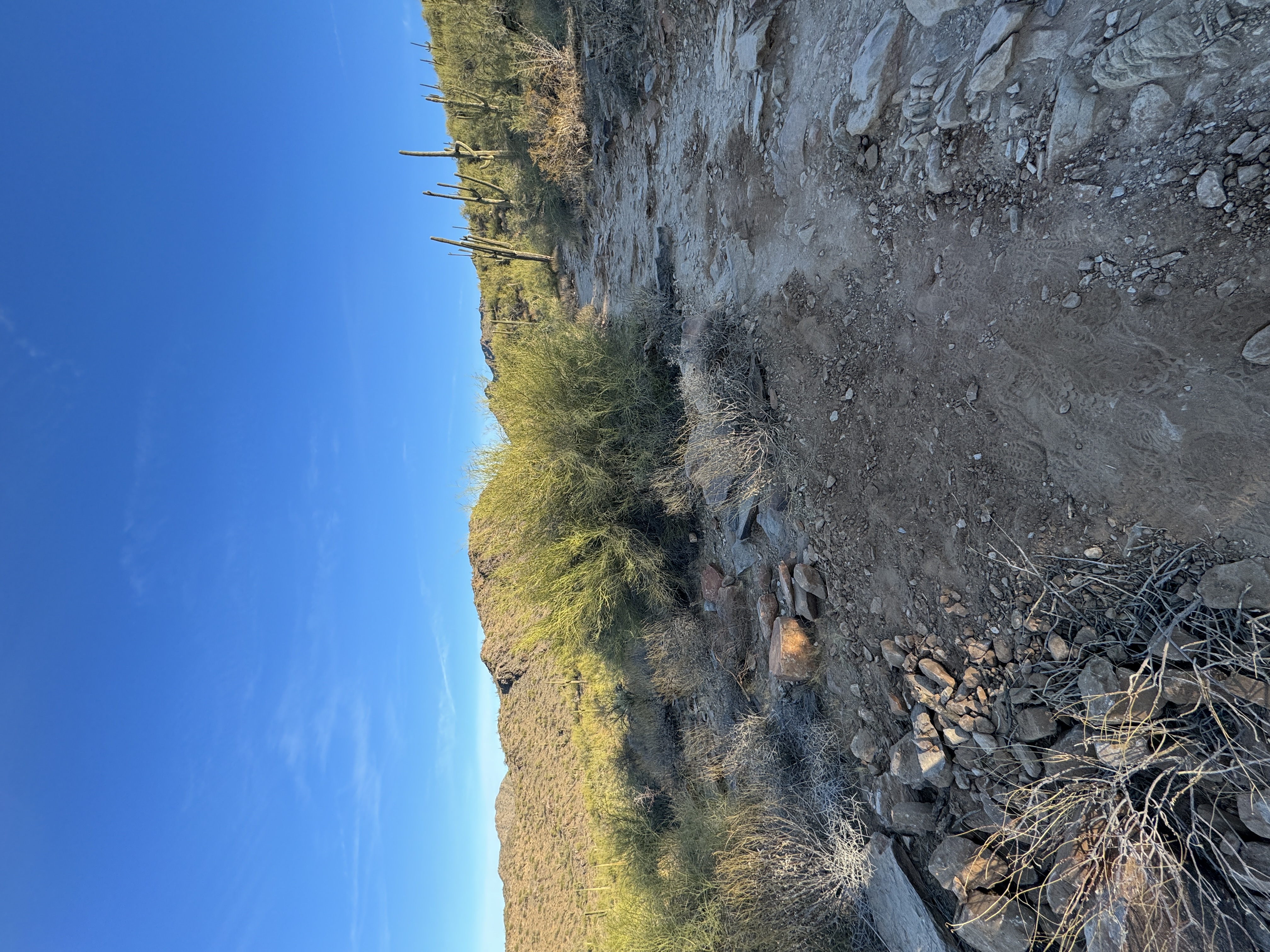
The Cholla Trail is considered the “easier” option for summiting Camelback, but it is still rated as “hard” and is not for the faint of heart. With a slightly more gradual ascent with switchbacks, it is still steep and involves rock scrambling near the summit. Mostly exposed, try to hike outside of the hot mid-day hours – especially in the warmer months – and bring plenty of food and water.
Length: 3 miles round trip
Difficulty: Hard
General Tips And Safety Concerns For Both Trails:
Be Aware Of The Weather:
Phoenix temperatures famously soar, so avoid hiking during the hottest part of the day (on days with excessive heat warnings the trail actually closes from 11am to 5pm). Heat related injuries happen here frequently so keep your eye on the time, temperature and bring plenty of food and water. Also check the forecast for potential rain or high winds, which can make the already sometimes slippery trails more dangerous.
Bring The Right Gear:
You’ll want to wear sturdy hiking shoes with good ankle support as both trails are rocky and steep with portions of scrambling. Sunscreen, a sunhat, and sunglasses are also essential. Note that dogs are prohibited on both trails.
Minimize Your Impact:
As always, remember to respect the environment and follow Leave No Trace principles – plan ahead and prepare, stay on durable surfaces, pack out all of your trash, leave what you find, respect wildlife, and be considerate of others (hikers ascending have the right of way).
Safety First:
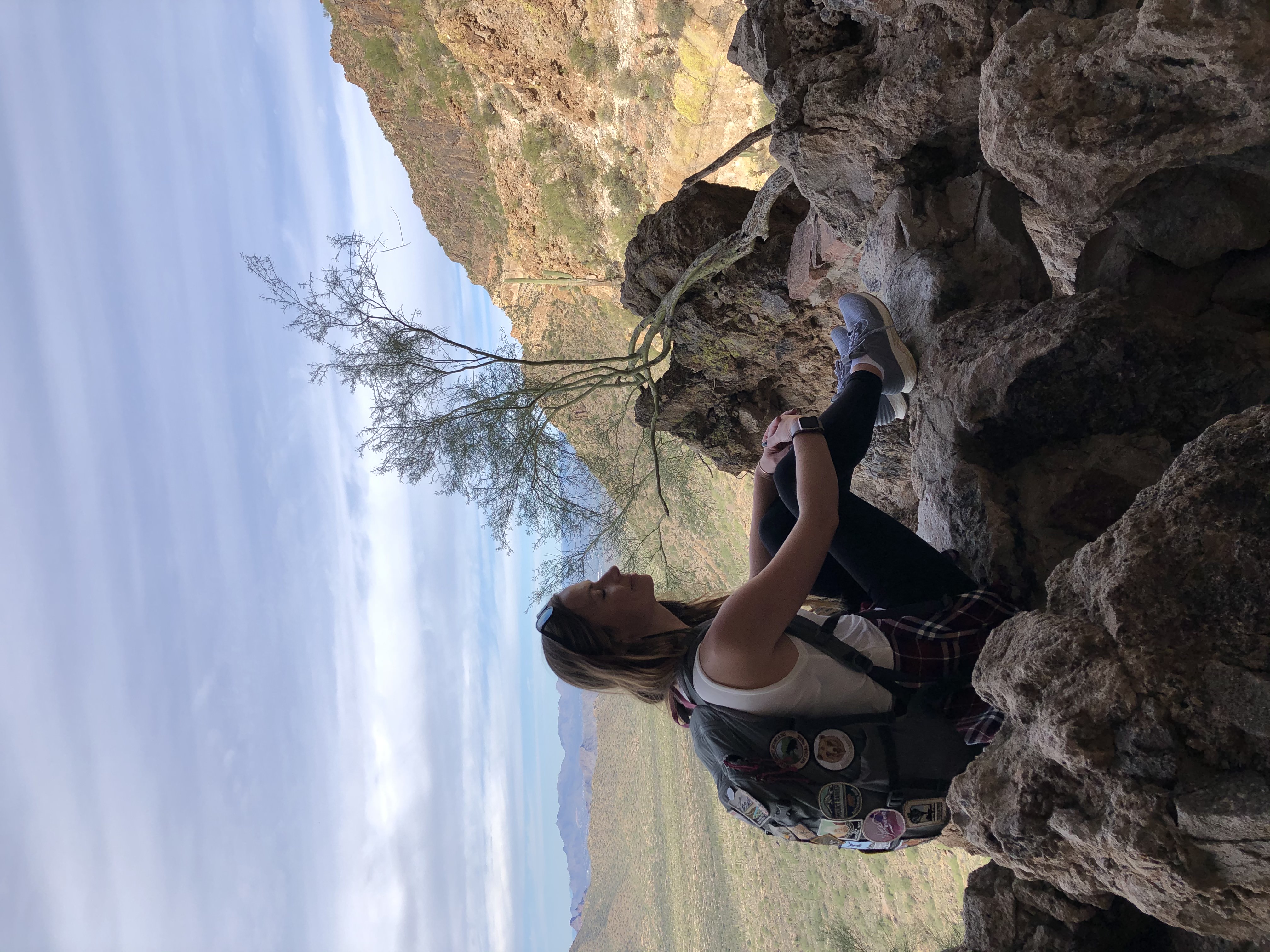
Visitors may underestimate how strenuous Camelback Mountain is due to its popularity, but it’s important to always be honest with yourself about your physical capabilities and choose the trail that best suits your experience level – even if it’s one nearby that is not as strenuous. Always let someone know your planned route and estimated return time, be aware of your surroundings, watch for loose rocks, take as many breaks as needed, and don’t hesitate to turn back if you feel unsafe at any point.
Exploring Other Nearby Hikes
Whether you conquer Camelback or decide you want something more low-key, you are in luck, as Phoenix has an incredibly diverse amount of accessible hiking terrain near the city. Here are some suggestions:
Tom’s Thumb Trail – McDowell Sonoran Preserve
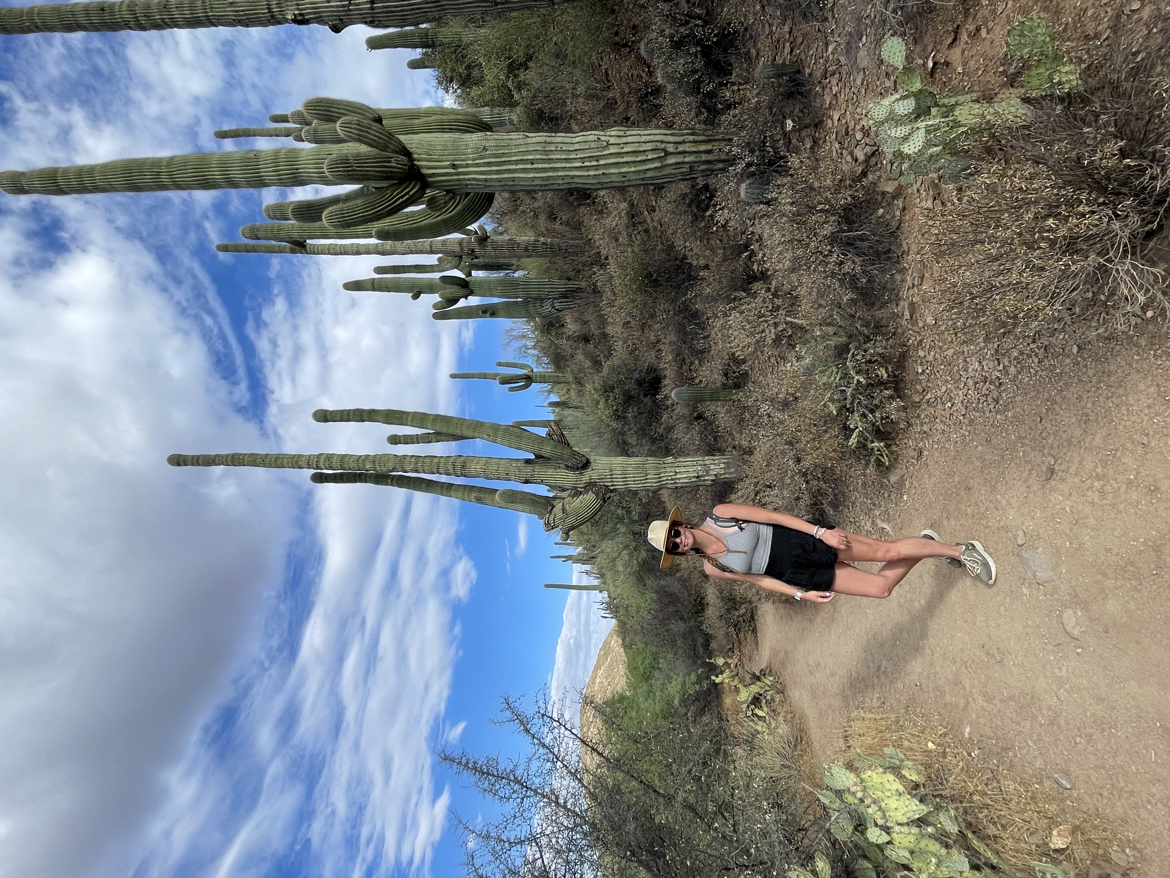
Just slightly further out of town and Northeast of Scottsdale is the vast McDowell Sonoran Preserve and the popular Tom’s Thumb Trail. At 4 miles out and back it has an elevation gain of 1,217 feet through a series of switchbacks (the first mile can be tough) that lead to incredible views of the surrounding mountains.
Length: 4 miles out and back
Difficulty: Moderate
Piestewa Peak — Phoenix Mountain Preserve
This is another challenging hike that offers panoramic city views but a different desert experience compared to Camelback. The trail features steep incline, stairs, and switchbacks before a final push to the summit with stunning vistas.
Length: 2.3 miles
Difficulty: Hard
Wind Cave Trail – Usery Mountain Regional Park
In nearby Mesa, but still within the Phoenix metro, lies Usery Mountain Regional Park. The park is an ideal place for biking and hiking close to town, especially the popular Wind Cave Trail. The hike starts out relatively easy and becomes steeper with some scrambling to reach the “cave” with views of Pheonix.
Length: 3.2 miles
Difficulty: Moderate
Dixie Mountain Loop Trail – Phoenix Sonoran Desert Preserve
The Dixie Mountain Loop Trail is longer than the other options, but with just a 967 ft elevation gain, it is not as challenging or steep as Camelback. The trail is teeming with lush plant life and interesting vegetation – be on the lookout for the Teddy Bear Cholla Forest.
Length: 5.1 miles
Difficulty: Moderate
Gateway Loop Trail – McDowell Sonoran Preserve
I love hiking the Gateway Loop Trail at McDowell Sonoran Preserve for expansive desert views and a less elevation gain (721 ft). The trail is rocky, but with an abundance of plant life and wildlife.
Length: 4.4 miles
Difficulty: Moderate


