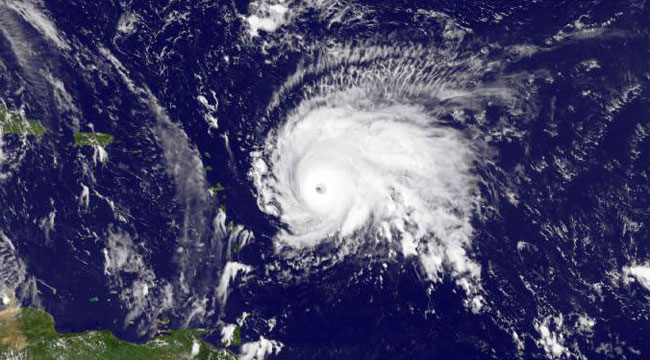
Houston is still putting itself back together after Harvey. Irma caused billions of dollars in property damage. And now, as if right on cue, Tropical Storm Jose may be about to reintensify into hurricane status and smash into America’s Eastern Seaboard.
Currently, Jose is a tropical storm, but it’s expected to redouble this weekend and head north along the Atlantic. By Wednesday, it’ll be in the Tri-State and New England area. The main question is where exactly it will wind up. The good news is that it’s unlikely to damage storm-stressed areas like Florida, but that does mean it’s headed straight for the northeast, and will, at minimum, bring heavy wind and rain to major Northeastern cities.
That’s not good news. New Yorkers in particular remember Sandy, which wasn’t technically a hurricane but caused widespread property damage, and while 2011’s Hurricane Irene was met with bravado, it caused damage not just along the coasts but in landlocked states, where heavy rains flooded rivers and destroyed hundreds of homes in Vermont and New Hampshire.
It all comes down to when the storm turns north. The sooner it does so, the better off everyone will be. Current “spaghetti” models find Jose taking a wide arc along the Atlantic and not directly hitting land, but it still might dump rain on a string of major cities. Whether that’s just an annoyance or a disaster, we’re going to have to wait and find out.
(via CNN)