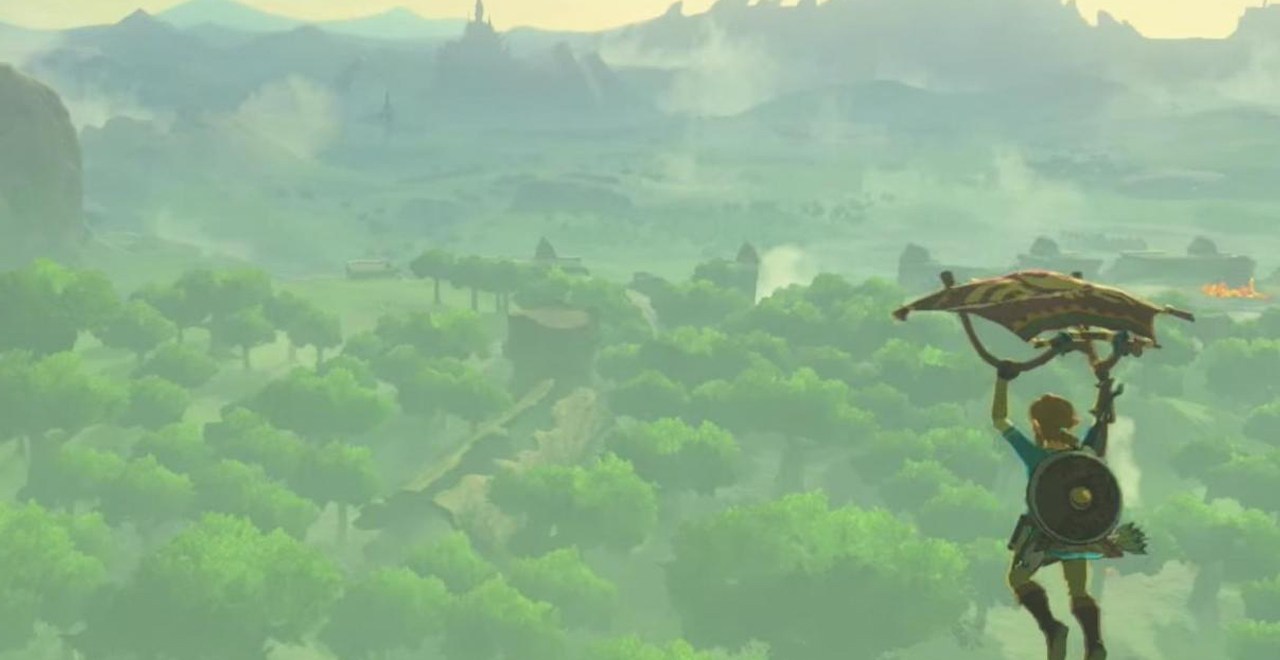
Just in case you forgot how breathtakingly beautiful The Legend of Zelda: Breath of the Wild is, a project all about showing off every last peak and valley of the land of Hyrule is currently in the works. As first reported by IGN, a computer science student and software developer named Nassim (or @LabNassim over on Twitter) has been working on their own version of Google Maps dedicated to Breath of the Wild‘s Hyrule — and it’s honestly, rad as hell.
The entire project is uploaded on a website that features a large image of the game’s map with Google Maps-style pins on select locations, such as Hyrule Field, Eldin’s Great Skeleton, Lurelin Village, and Kara Kara Bazaar. Upon selecting a pin, you can load a panoramic map reminiscent of Google Map’s “Street View” feature and explore all 360 degrees of the image, soaking in all the details you might have missed with avoiding those pesky Guardians.
As of right now, only a couple dozen locations are available to view with the map’s Eastern regions a bit more explored than its West. In order to expedite the process, Nassim has created a link on the site where players can submit their own screenshots and, pending approval, help them flesh out the game’s iconic (and massive) map. If like me you’re still wondering just how all this is even possible, rest assured that Nassim has also created a YouTube video explaining the whole process that you can watch below:
https://www.youtube.com/channel/UCO_O0pw4GNZr6rs8JVKJ_hg