“To walk in nature is to witness a thousand miracles,” Mary Davis once said. And we couldn’t agree more. It’s no secret we are huge proponents of travel here at Uproxx and take every chance we can to get into nature and onto a dirt trail on our treks. There’s just nothing more grounding, rejuvenating, and life-giving than walking in the wilderness.
And we aren’t the only ones, of course.
Whether inspired by social media, awareness of health benefits, more flexible schedules of the last few years, or just a desire to take a technology break, there’s no denying that hiking is booming across the United States. From 2019 to 2020 alone, the percentage of logged hikes on AllTrails was up over 170%. National Parks have seen increased visitation leading to timed entry systems and vehicle reservations, while outdoor gear sales have steadily increased.
According to Statista, hiking participation in the United States has grown by over 80% since 2010, with over 59 million people in the US participating in hiking at least once in 2021. But with so many options, it can be hard to decide which hike to choose. Where, exactly, should you use your cherished free time for a walk in the wild?
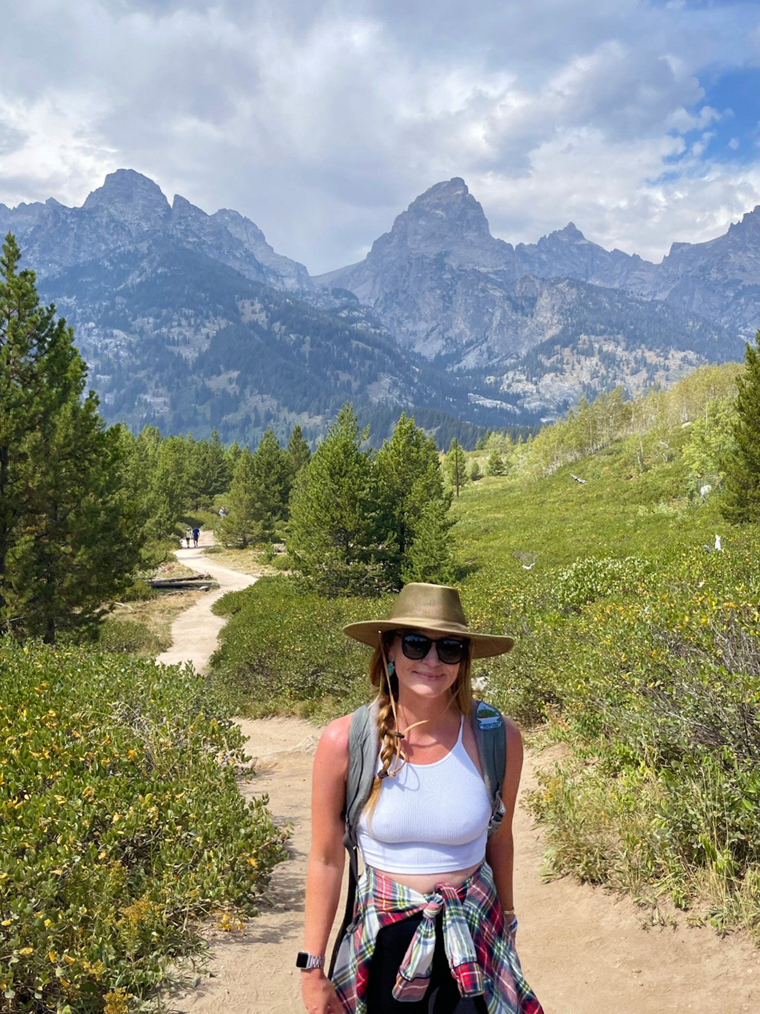
That’s where I come in. I’ve traveled to 59 of the 63 US major National Parks and over 100 NPS sites over the last few years. I have hiked in every US state and on some of the country’s most legendary and bucket-list trails. So I picked my top 15 to rank.
PART I — METHODOLOGY
Obviously, every hiker values different things, so I tried to stick to some parameters for my rankings.
- Accessibility. It’s crucial that the outdoors is accessible for all, and hiking is no different. While many of these trails are still inaccessible to some, I tried to pick several rated “easy,” which had fewer elevation gains, fewer miles, or were near major cities and public transportation.
- Uniqueness. I could rattle off hundreds of incredible trails in Colorado, Wyoming, Montana, and Washington – but unless you’re a seasoned hiker, much of the landscapes are similar. Gorgeous alpine lakes and snow-capped mountains are great, but I was looking for trails with a little more to offer. Unique features that you may not quickly get somewhere else.
- Popularity. While there is a time for “lesser known” or “hidden gems,” I didn’t take that route on these rankings. These hikes are popular because they’re incredible and worth braving some crowds for. I utilized AllTrails ratings and reviews to be sure I was rating some seriously “bucket-list-worthy” hikes.
PART II — The Rankings
15 – APPALACHIAN TRAIL – SHENANDOAH NATIONAL PARK

WHY IT’S AWESOME:
While not exactly a day hike – at all – hiking the Appalachian Trail should be on everyone’s list. At least a portion of it, that is. While the entire trail from Georgia to Maine is nearly 2,200 miles and spans over 14 states, portions are easily accessible to the average hiker who doesn’t have five to seven months to complete it. Whether you’re in Georgia, North Carolina, Tennessee, Virginia, West Virginia, Maryland, Pennsylvania, New Jersey, New York, Connecticut, Massachusetts, Vermont, New Hampshire, or Maine – look for the AT signage while hiking – I’ve hiked on portions of the trail several times without realizing until I was already there. And you never know; it might just inspire a thru-hike in the future.
TRAIL NOTES:
It would be impossible to explain a trail over 2,000 miles. Still, I can recommend a great way to experience the trail as a beginner – through portions in and near Shenandoah National Park and Blue Ridge Parkway in Virginia. There are 104 miles of the trail in Shenandoah National Park, with elevation gains that generally stay below 1,000 ft. The trail is well maintained, and portions are a great option for a day hike.
TOTAL DISTANCE: 2,190 miles
ELEVATION GAIN: 453,750 ft
DIFFICULTY: Hard.
BEST TIME TO HIKE: Weather is, of course, going to fluctuate depending on where you’re hiking, so be prepared to do your research and bring anything you’ll need. Late spring and early fall are generally your best bet for a day hike. Thru-hikers generally start in March or April in Georgia and end around September in Maine.
WHERE TO GRAB A DRINK AFTER: Hit up a bar or restaurant in one of the over 40 trail communities – towns near the trail that have qualified under the Appalachian Trail Conservatory’s A.T. community program.
14 – BEEHIVE LOOP – ACADIA NATIONAL PARK – MAINE
WHY IT’S AWESOME:
Acadia is a crown jewel of the National Park system. The legendary park in coastal Maine is consistently in the top 10 most visited major National Parks, with over 4 million visitors in 2021. Acadia is also one of the smallest significant parks by land area, encompassing just over 49,000 acres over the most visited Mount Desert Island, part of the less visited Schoodic Peninsula, part of the Isle au Haut, and 16 other outlying islands. So while this may not be the first park you’d think of for challenging hiking trails – it has its share. Clocking in at just 1.5 miles – The Beehive Loop is one of them. It’s the shortest trail on this list but is also rated as difficult. While not as deadly (really) as the Precipice Trail in the park, The Beehive is a short but challenging hike with a big payoff.
TRAIL NOTES:
The trail begins across the street from the Sand Beach Parking Lot. The trail starts on the Bowl Trail and then splits – you’ll go right for the loop that takes you on the Beehive Trail up to the Beehive Summit and down the Bowl Trail. There are climbing sections on the Beehive Trail where you will use iron rungs to help scramble and climb up to the top – with panoramic views of the gorgeous Maine coast.
TOTAL DISTANCE: 1.5 miles
ELEVATION GAIN: 450 ft
DIFFICULTY: Hard – Not recommended for small children or those with a fear of heights
BEST TIME TO HIKE: Summer and fall in Acadia are bucket-list, but you’ll also be met with crowds. I wouldn’t recommend hiking this one in the winter with snow or ice on the trail or after rain. The steep drop-offs and exposure are no joke.
WHERE TO GRAB A DRINK AFTER: Head back to Bar Harbor and grab a refreshing local beer at Atlantic Brewing Company.
13 – VERNAL FALLS – YOSEMITE NATIONAL PARK – CALIFORNIA
WHY IT’S AWESOME:
Any trail in Yosemite could have made this list – they’re all stunning. Heck, just sitting in the middle of Yosemite Valley and walking over to get a beer at the convenience store is probably more picturesque than almost any trail in the United States. So picking one was a challenge. But Vernal Falls is umy favorite of them all. The relatively short trial packs a lot for its short distance, with waterfalls, creek views, and maybe even a rainbow.
TRAIL NOTES:
The trail is accessed from Happy Isles Trailhead, a stop 16 on the YARTS bus near Curry Village. You’ll start on the Mist Trail on a steep portion of the trail. Continue to the bridge that will lead you onto the falls. Exercise extreme caution on the steps to the falls and get ready for the view of a lifetime.
TOTAL DISTANCE: 3.1 miles
ELEVATION GAIN: 1,131 ft
DIFFICULTY: Hard
BEST TIME TO HIKE: Summer is a great time to hike in Yosemite, although shoulder seasons will also lessen the crowds with generally still lovely weather. The best time to see any of Yosemite’s incredible waterfalls is in the Spring.
WHERE TO GRAB A DRINK AFTER: Head to Bar 1899 in Curry Village.
12 – HORSESHOE BEND TRAIL – GLEN CANYON NATIONAL RECREATION AREA – ARIZONA
WHY IT’S AWESOME:
This choice may be slightly controversial, as the trail to Horseshoe Bend is just 0.75 miles each way – but accessibility is essential, and the payoff here is something everyone should and can see at least once in their lifetime. The social media famous spot in Glen Canyon National Recreation Area is impressive. Looking at the horseshoe-shaped bend in the Colorado River from above is as humbling as it is awe-inspiring.
TRAIL NOTES:
The trail begins from a parking lot on Highway 89 just outside Page, Arizona. You’ll walk the short distance to the rim of the canyon and many others to take in the spectacular postcard-perfect views.
TOTAL DISTANCE: 1.5 miles
ELEVATION GAIN: 137 ft
DIFFICULTY: Easy
BEST TIME TO HIKE: This area is accessible year-round, although I’d recommend spring or fall for better temperatures.
WHERE TO GRAB A DRINK AFTER: Grab a drink nearby at Grand Canyon Brewery and Distillery in Page.
11 – MOUNT STORM KING – OLYMPIC NATIONAL PARK – WASHINGTON
WHY IT’S AWESOME:
Olympic National Park is chock full of incredible views, so to say that a trail might have the best is saying a lot. Hike the popular Mount Storm King hike for remarkable panoramic views of the pristine Lake Cresent below.
TRAIL NOTES:
The trail is just over 4 miles but rated as hard for a reason. Despite its popularity, this isn’t a trail for the faint of heart. The first 2 miles are very steep before you enter an area no longer maintained by the park service. The last ¼ of a mile, you will encounter a steep rope section on rocky terrain. The ropes are where injuries are most likely to occur and are not maintained by the park service, so use caution.
TOTAL DISTANCE: 4.1 miles
ELEVATION GAIN: 2,106 ft
DIFFICULTY: Hard
BEST TIME TO HIKE: The best time for this hike is April through October, when the weather is warmer. Be cautious of wet weather on this steep rocky terrain.
WHERE TO GRAB A DRINK AFTER: Head to the Lake Crescent Lodge Dining Room for a drink with a view.
10 – LANDS END TRAIL – GOLDEN GATE NATIONAL RECREATION AREA
WHY IT’S AWESOME:
If you don’t have the time (or desire) to get too far out of town on a weekend getaway in the West, this is the perfect hike. Easily accessible from downtown San Francisco, this hike has it all: ocean views, history, landmarks, and incredible nature make this a must for locals and visitors to the Bay.
TRAIL NOTES:
The trailhead for Lands End is at the Lands End Lookout near the intersection of Point Lobos Avenue and El Camino del Mar in the Outer Richmond district of San Francisco – easily accessible by car or public transportation. The relatively short and flat hike has a mix of boardwalks, dirt trails, and paved areas. You’ll pass the historic Sutro Baths and the USS San Francisco Memorial while enjoying the incredible views of rugged cliffs over the Pacific Ocean and the Golden Gate Bridge in the distance.
TOTAL DISTANCE: 3.4 miles
ELEVATION GAIN: 538 ft
DIFFICULTY: Moderate
BEST TIME TO HIKE: This is an excellent option for nature lovers visiting the city year-round.
WHERE TO GRAB A DRINK AFTER: Head to Beach Chalet Brewery and Restaurant in Golden Gate Park for more gorgeous ocean views with your brew.
9 – HIGHLINE TRAIL – GLACIER NATIONAL PARK – MONTANA
WHY IT’S AWESOME:
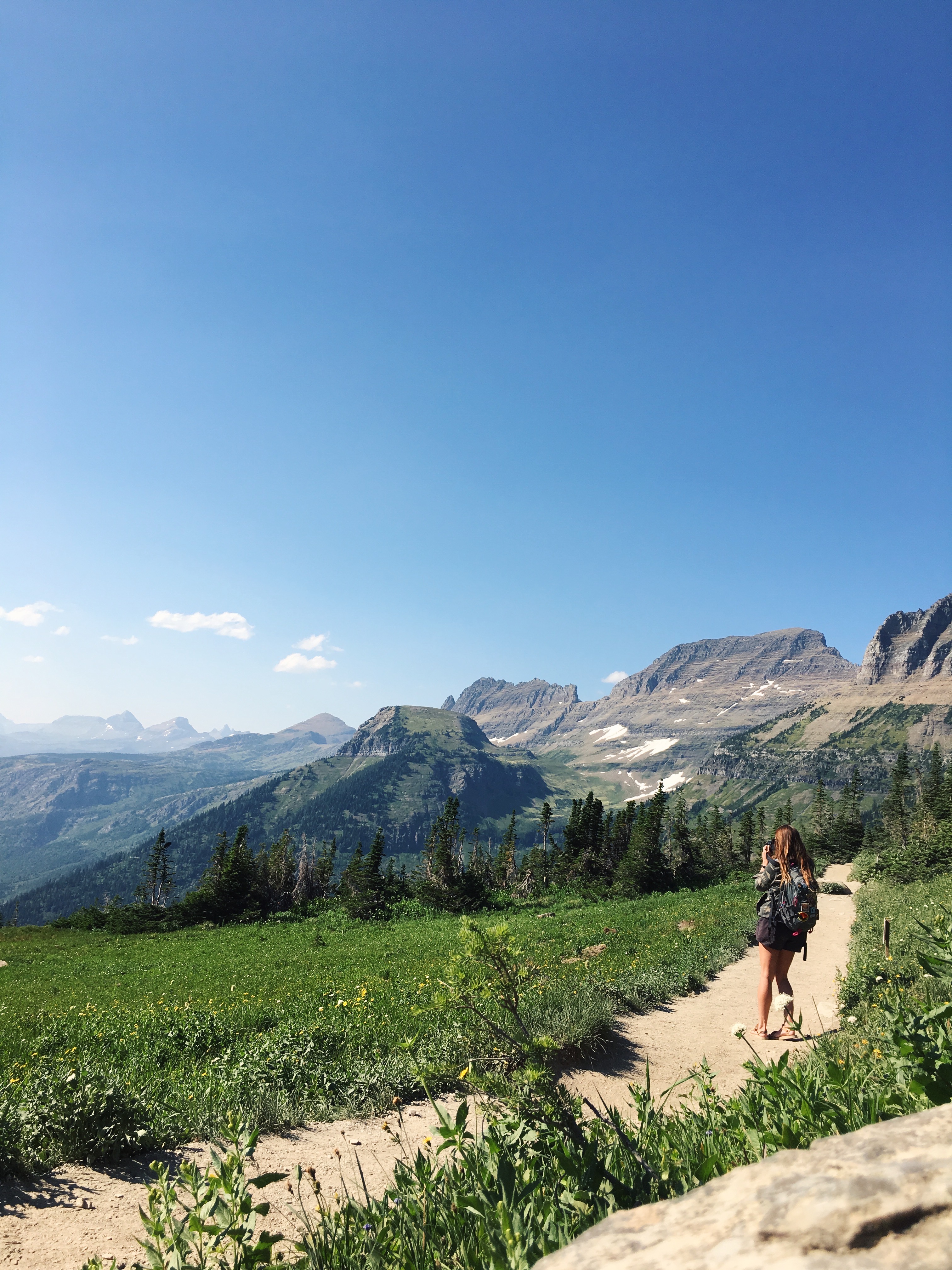
Glacier National Park is a central bucket list park for outdoor enthusiasts – particularly hikers. With over 700 miles of hiking trails over a remarkable 1 million acres of land – the options are endless. With so much ground to cover between the seven separate entrances of the park, it can be overwhelming to plan a hiking trip. Highline Trail offers incredible views but is right off Going-To-The-Sun Road – the nearly 50-mile road registered as a National Historic Landmark, Historic Civil Engineering Landmark, and National Historic Place. The road is spectacular, and the trail is even better.
TRAIL NOTES:
The trail begins on the Continental Divide, across from the Logan Pass Visitor Center on Going-To-The-Sun Road. The first 3 miles are relatively level, albeit exposed and possibly terrifying once you reach an infamous ledge with hundred-foot drop-offs at around one-quarter of a mile into the hike. There is a cable to hold onto during this reasonably short portion of the hike. Then you’ll have a challenging hike through mostly the Garden Wall portion of Glacier, following the Continental Divide through meadows, with incredible views. Although the Highline Trail is nearly 24 miles round trip, many people hike the trail to Granite Park Chalet before turning back around. The chalet is only accessible by hiking or horseback and accommodates overnight guests – although all rooms are sold out for the 2023 season.
TOTAL DISTANCE: 14.9 miles
ELEVATION GAIN: 2,578
DIFFICULTY: Hard.
BEST TIME TO HIKE: The best time to hike is between July through September. You have to drive on Going-To-The-Sun Road to reach the trailhead, which generally opens for the season due to snow in late June and closes again in October. You’ll need to secure a vehicle registration to access the road and four other areas in Glacier between May 26 and September 10 if entering on the West side and from July 1 through September 10 from St. Mary’s.
WHERE TO GRAB A DRINK AFTER: I love to head down to Lake McDonald Lodge to grab a drink with a view at Lucke’s Lounge.
8 – DELICATE ARCH – ARCHES NATIONAL PARK – UTAH
WHY IT’S AWESOME:
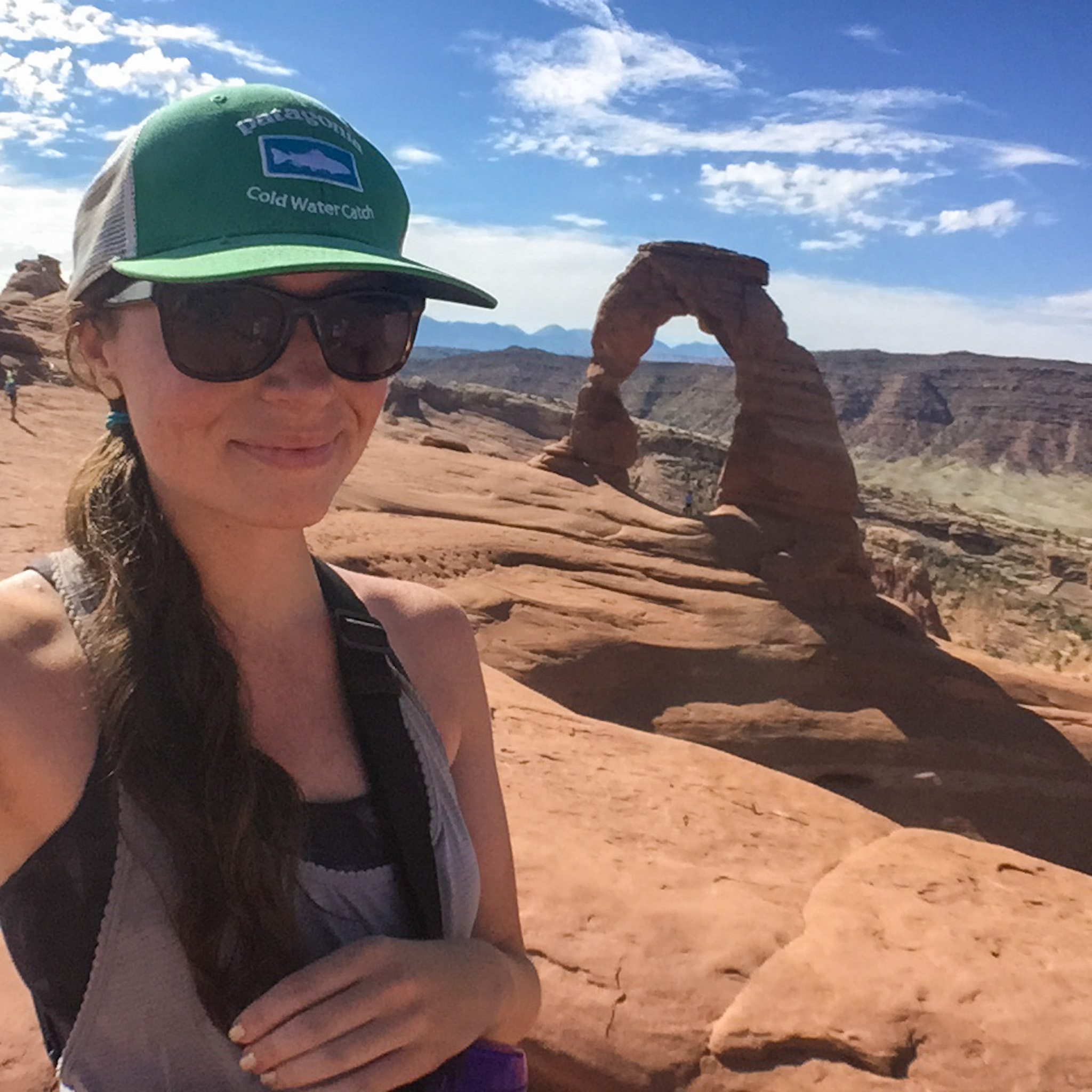
If you’ve ever seen a photo of a hike in Utah, it’s likely of Delicate Arch. The iconic natural rock formation that graces the state’s license plates (and pretty much every other Utah-branded item) is legendary for a reason. With over 2,000 documented arches in Arches National Park, this is by far the most well-known and holds the title of the largest free-standing arch in the park, with an opening beneath the arch of 46 ft tall by 32 ft wide and an entire rock span reaching 60 ft.
TRAIL NOTES:
This hike, while only 3.2 miles round-trip, can be deceptively strenuous. You’ll be climbing up steep slick rock with virtually no shade on the entire trail, with the National Park Service noting that rangers often have to rescue visitors who underestimate the trail’s difficulty. But if you’re prepared, seeing up close is an incredible sight.
You’ll start by parking at the Wolfe Ranch lot, which will likely fill early most days. Another option is to begin at the Delicate Arch Viewpoint parking lot, adding 1 mile each way to the hike. The trail starts with steep climbing on slick rock until it eventually reaches a more manageable slope. The trail is marked with cairns until you reach a 200-yard rock ledge that may be difficult for someone with a fear of heights. After the ledge, the arch will come into view, where you can walk over for photos or sit and admire the view.
TOTAL DISTANCE: 3.2 miles
ELEVATION GAIN: 629 ft.
DIFFICULTY: Moderate.
BEST TIME TO HIKE: This trail has almost no shade, so midday hiking in summer is discouraged. Summer is also going to be extremely crowded. Spring and fall are your best bet, while winter is doable if you’re prepared with the correct equipment for possible snow and ice. Be aware you’ll need a timed entry ticket to access any part of Arches National Park from April 1 to October 31.
WHERE TO GRAB A DRINK AFTER: Moab is just outside the park and chock full of bars and restaurants. I recommend stopping by Moab Brewery or Thai Bella Moab.
7 – OLD RAG MOUNTAIN LOOP – SHENANDOAH NATIONAL PARK – VIRGINIA
WHY IT’S AWESOME:
Old Rag is a legendary hiking trail, not just in Virginia or the East – but in the United States period. What AllTrails describes as “brutally awesome” has become a bucket-list trek for many National Park and outdoor lovers nationwide. The trail is so popular that you’ll need day-use permits to access the Saddle, Ridge, and Ridge Access trails between March 1 and November 30.
TRAIL NOTES:
This is a challenging hike, and at over 9 miles, it will take even an experienced hiker several hours to complete. Your hike begins with an easy one-mile section before hitting the switchbacks and rocky section, where you’ll do some scrambling. Old Rag is famous for its false summits, so you’ll have to persevere to finally reach the summit before heading back down the Saddle Trail.
TOTAL DISTANCE: 9.3 miles
ELEVATION GAIN: 2,595 ft
DIFFICULTY: Hard
BEST TIME TO HIKE: The best times to hike here are similar to most trails on this list, from May to October. Be sure to secure a day-use permit.
WHERE TO GRAB A DRINK AFTER: Head to Apple Atcha Cider near Sperryville for a refreshing hard apple cider.
6 – TAGGART LAKE LOOP – GRAND TETON NATIONAL PARK – WYOMING
WHY IT’S AWESOME:
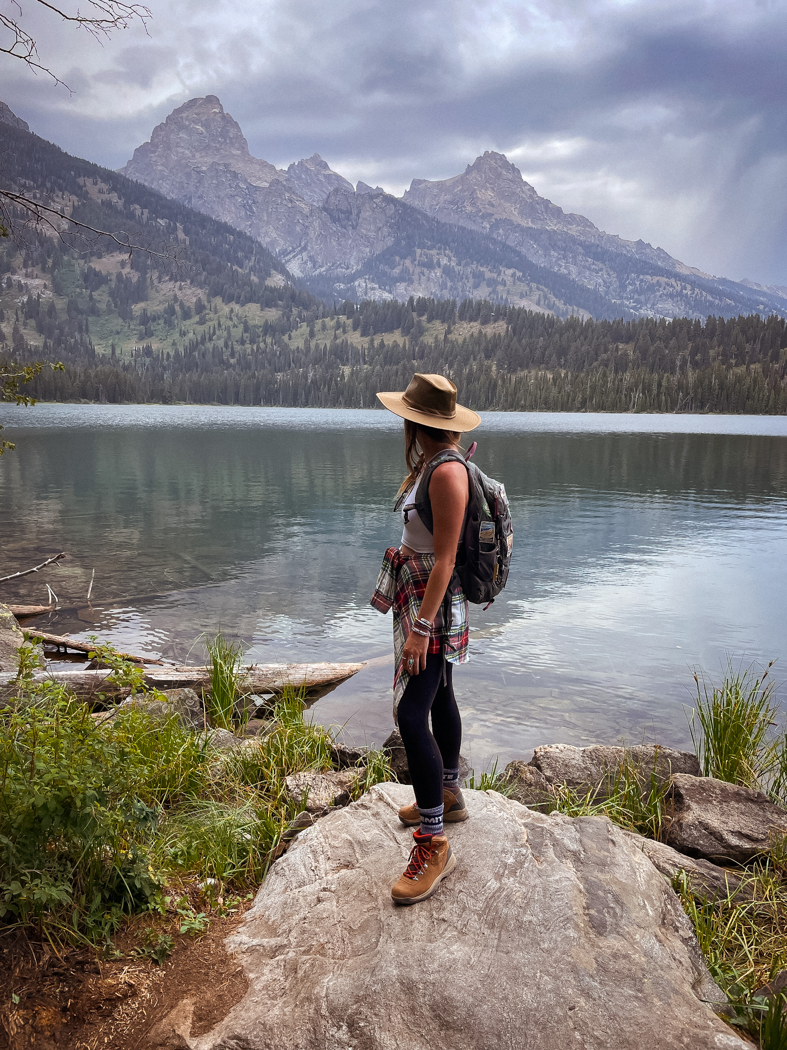
Every hike in Grand Teton National Park is a stunner, but after visiting a half-dozen times, I always point new visitors to Taggart Lake Loop. The hike packs much punch for a relatively “easy” 3.8 miles with incredible peak views, forests, lakes, and creeks.
TRAIL NOTES:
Several options exist when arriving at Taggart Lake Trailhead off Teton Park Road. Parking tends to fill up quickly, so an early start is necessary. You’ll experience little elevation change on the gorgeous hike up to the incredible Taggart Lake. Spend time around the lake picnicking, lounging, or enjoying the view.
TOTAL DISTANCE: 3.8 miles
ELEVATION GAIN: 426 ft.
DIFFICULTY: Easy
BEST TIME TO HIKE: This trail is best accessed during the later summer months until early fall, when the trail is free of snow and mud.
WHERE TO GRAB A DRINK AFTER: Head to Dornan’s Chuckwagon for a brew with an unmatched view of the Teton range.
5 – NAVAJO LOOP AND QUEENS GARDEN – BRYCE CANYON NATIONAL PARK – UTAH
WHY IT’S AWESOME:
Bryce Canyon stands out among the Utah “Mighty 5” National Parks. The otherworldly bright orange hoodoos and spires are unlike any other spot I’ve seen, and the famous Navajo Loop and Queens Garden Hike are the best way to see them.
TRAIL NOTES:
The trail begins on Navajo Loop before turning into the incredible Wall Street section. From there, you pass Thor’s Hammer and Two Bridges before entering the spectacular Queens Garden.
TOTAL DISTANCE: 3.1 miles
ELEVATION GAIN: 649 ft
DIFFICULTY: Moderate
BEST TIME TO HIKE: Bryce Canyon is much higher than the other Utah parks – with elevations averaging around 8,000 ft and reaching 9,000. Because of this, there is snow much later in the park, so I’d recommend summer and early fall for the best hiking conditions.
WHERE TO GRAB A DRINK AFTER: Head to Valhalla Pizza for a slice and a cold drink.
4 – BRIGHT ANGEL TRAIL – GRAND CANYON NATIONAL PARK – ARIZONA
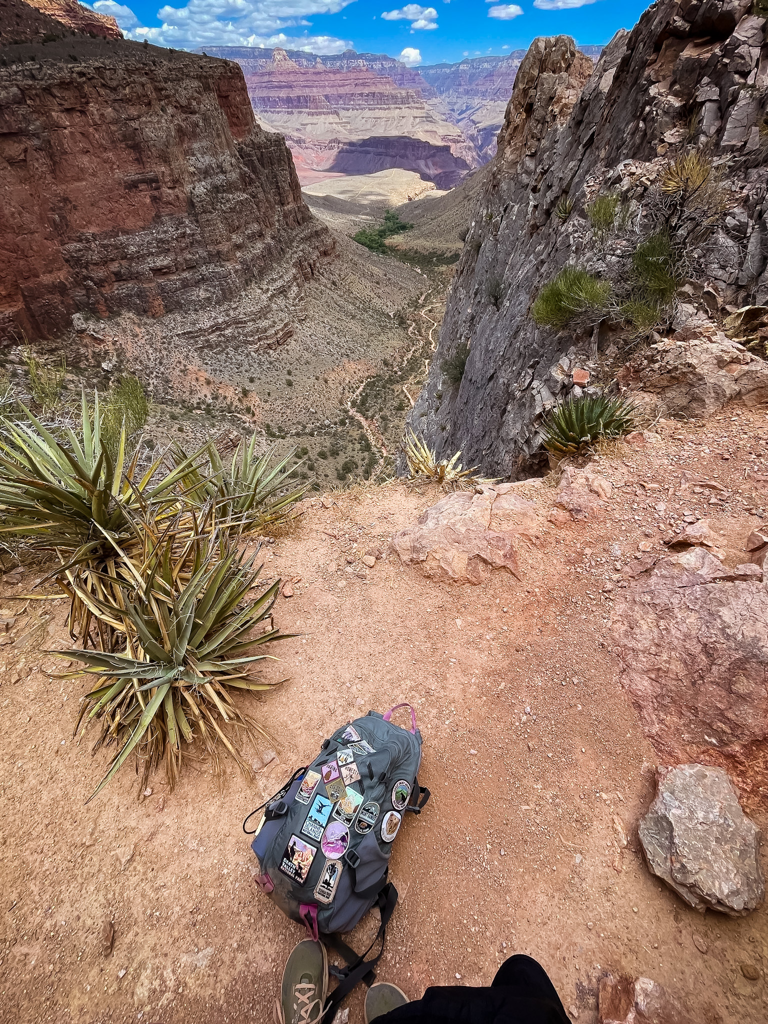
WHY IT’S AWESOME:
The Grand Canyon, considered one of the Seven Wonders of the World, is likely on most travelers’ must-visit lists. But despite its popularity, many visiting people don’t hike far into the canyon. The 278-mile-long canyon is up to 18 miles wide and over a mile deep, with some of the most incredible views and vistas one can ever witness with their own eyes. But hiking down into a canyon means you’ll have to hike back up later, which can be highly strenuous for even an experienced hiker. There are over 100 trails in the park, according to AllTrails, but one of the most popular – for a good reason – is Bright Angel. This trail gets you below the rim for as short or long of a jaunt as you’d like.
TRAIL NOTES:
Bright Angel Trail starts directly in the Village at the South Rim just west of Bright Angel Lodge. You’ll begin the descent into the canyon immediately and cross under the first tunnel at just shy of 0.2 miles. You’ll enter a period after the second tunnel (0.75 miles) of steep switchbacks and then pass a water and rest station at 1.5 miles. There is another water and rest stop at 3 miles, and water is available again at Indian Gardens at mile 4.5. In the summer, you’ll need to turn around if you have not already – getting back up can take at least twice as long, and once you’re in the canyon, it can be challenging to understand how far you’ve gone. In other seasons you can continue to Plateau Point at mile 6.
TOTAL DISTANCE: 12 miles
ELEVATION GAIN: 3,080 ft.
DIFFICULTY: Hard
BEST TIME TO HIKE: Fall and spring will be best for hiking this trail, as summer temps can become dangerous. If hiking in the summer, the National Park Service recommends avoiding the trail between 10 am and 4 pm, and it is not recommended to hike rim to river in one day for this reason. In winter and early spring, the upper portions of the trail can be extremely icy.
WHERE TO GRAB A DRINK AFTER: I love walking the short distance from the South Rim to the classic El Tovar Hotel Lounge to get a drink on the veranda.
3 – SKYLINE TRAIL LOOP – MOUNT RAINIER – WASHINGTON
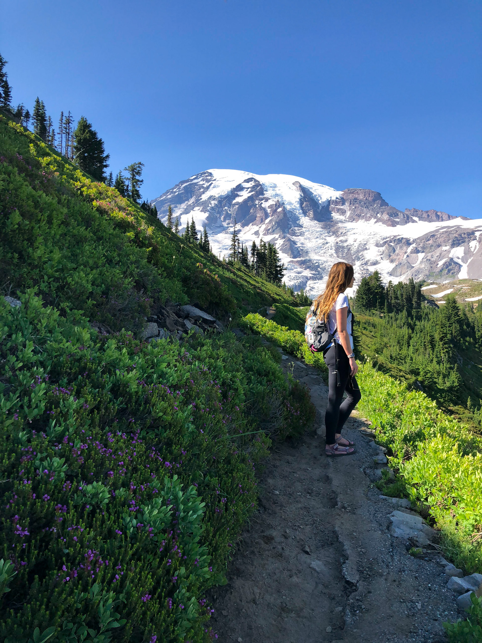
WHY IT’S AWESOME:
Mount Rainier is not just impressive – it’s imposing. To catch a glimpse of the 14,410 ft active volcano is truly a moment where the veil between heaven and earth is at its thinnest. There are many incredible hiking trails in the over 236,000-acre park, but if I had to choose just one, it would undoubtedly be Skyline Trail Loop. The trail begins at the famous Paradise parking area and lives up to its name – and then some.
TRAIL NOTES:
You’ll start your hike in the Paradise Valley from the Paradise parking lot after a gorgeous drive through the park. There are many trails in this area, so you’ll want to pick up a map or have one downloaded. After some time hiking on pavement, you’ll come to a fork and need to decide if you’ll take on the trail clockwise or counterclockwise. Counterclockwise has slightly less elevation gain on the climb up to Panorama Point, but both have the same amazing views. If you hike clockwise, you’ll hike up the steep trail to Panorama Point, continue along to Stevens-Van Trump Memorial, descend into Paradise Valley, climb to Myrtle Falls, and return to where you began.
TOTAL DISTANCE: 5.5 miles
ELEVATION GAIN: 1,700 ft.
DIFFICULTY: Hard.
BEST TIME TO HIKE: Mount Rainier is known for wildflowers – and mid to late August is prime time – although July and August are great times to catch wildflowers and waterfalls. Summer, of course, will be more crowded, so start your hike as early as possible. You can hike in the winter; just be prepared with poles, spikes, and other winter hiking equipment.
WHERE TO GRAB A DRINK AFTER: I always like to stop at the Longmire Inn, a National Park Inn within the park, for a drink or a snack.
2 – EMERALD LAKE – ROCKY MOUNTAIN NATIONAL PARK – COLORADO
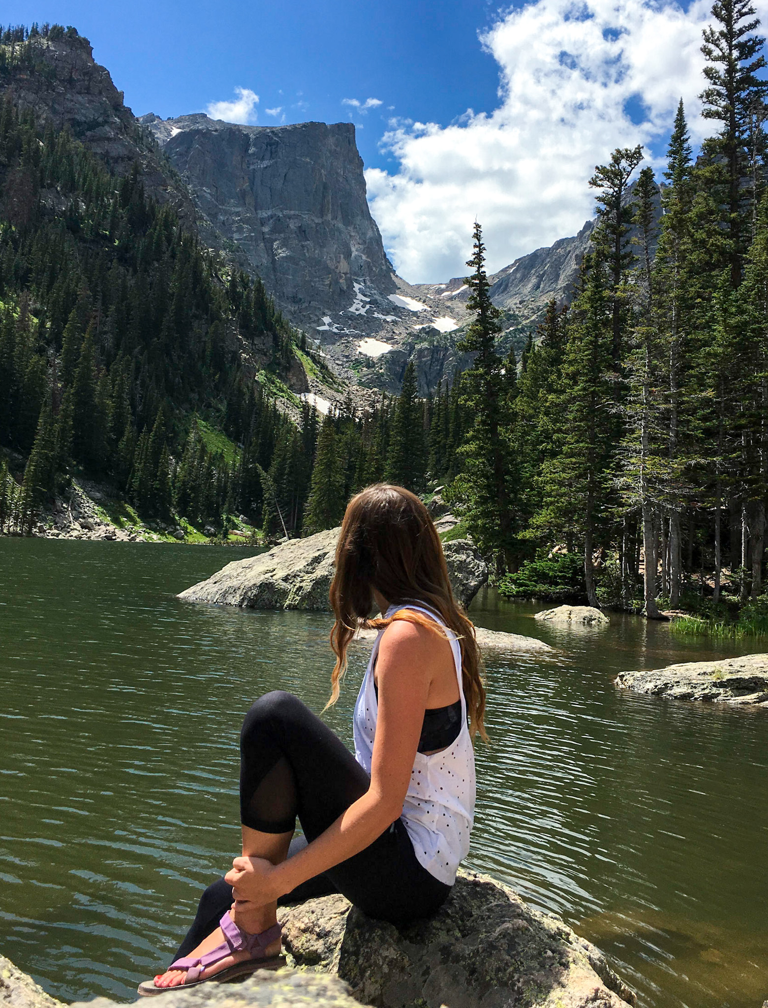
WHY IT’S AWESOME:
Rocky Mountain National Park is a bucket list destination for all levels of outdoor enthusiasts. With over 355 miles of trails – it’s a hiker’s dream. But if I could only choose one hike in the park, I’d answer as most people would (it’s famous for a reason y’all), and I’d hike Emerald Lake Trail. It truly has more “bang for your buck” than any other trail on this list – probably any trail I’ve ever hiked. Clocking in at just 3.2 miles, you’ll hike into a quintessentially Colorado mountain landscape that is jaw-dropping at every turn. Starting at one gorgeous lake and passing by two others on the way to your postcard-perfect destination – it’s probably going to be crowded, but it’s going to be worth it.
TRAIL NOTES:
As mentioned, one of the fantastic perks of this trial is its accessibility. Emerald Lakes Trail begins at Bear Lake – which you can quickly whip around to add another 0.7 miles to your hike and is accessible. From there, you’ll hit the Emerald Lake Trail, to the left, when you enter the Bear Lake Trail area from the parking lot. Then you climb up 0.5 miles to Nymph Lake slightly – one of my favorite lakes in the Rockies and a perfect place to catch your breath if you’re not yet used to the elevation (9,710 ft). From there, you’ll climb a bit higher, another 0.6 miles, to the Instagram star – Dream Lake. This is a perfect place to stop for a snack and admire the view. From there, you will hike up another 0.7 miles and pass a waterfall until you reach Emerald Lake.
TOTAL DISTANCE: 3.2 miles
ELEVATION GAIN: 698 ft.
DIFFICULTY: Easy.
BEST TIME TO HIKE: This is a popular spot all year round (try snowshoeing!), so you’ll need to be prepared to take the park service shuttle if parking is full. Between May 26 and October 22, you’ll also need a timed entry reservation to access the Bear Lake Corridor and the trailhead. These can be reserved here.
WHERE TO GRAB A DRINK AFTER: Head into Estes Park and visit my favorite spot – Snowy Peaks Winery.
1 – THE NARROWS – ZION NATIONAL PARK – UTAH
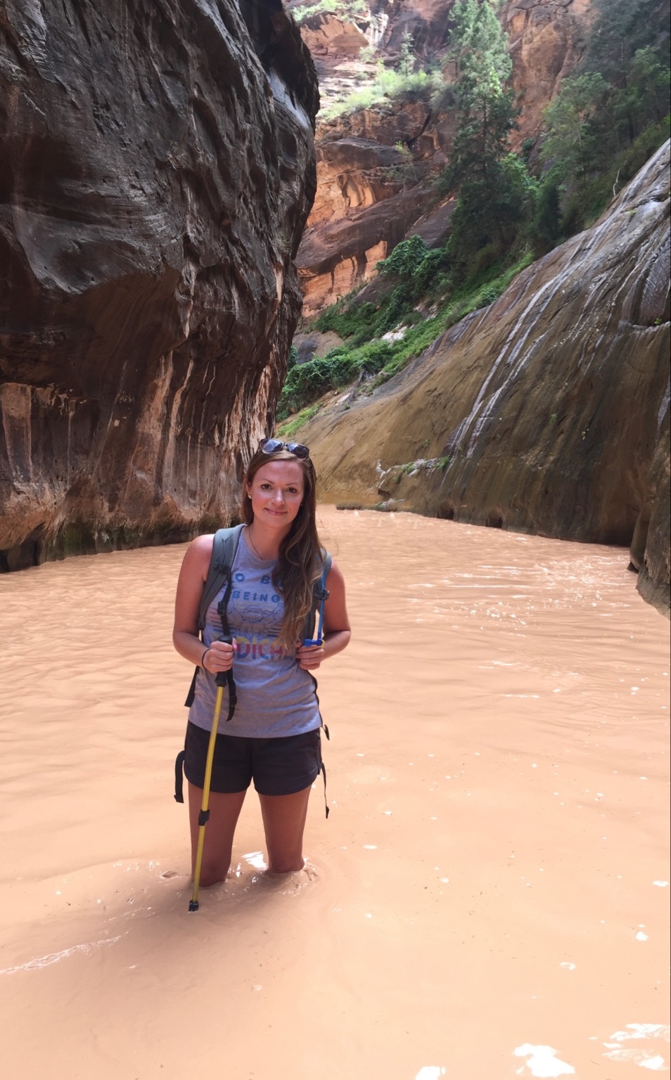
WHY IT’S AWESOME:
Zion National Park has exploded in popularity over the last decade, with visitation since 2010 nearly doubling – securing the park as the second most visited major park in the National Park System. With over 20 hikes within Zion, including the social media famous Angel’s Landing, it can be tough to decide which to hike on a short visit. While the landscape is unique and awe-inspiring throughout the park, I think the most unique trail that doesn’t require a permit is, hands down, The Narrows. The hike will take you directly through the Virgin River, with over 60% requiring wading, hiking, and even swimming in the river with the incredible canyon walls surrounding you. You can hike The Narrows Bottom Up or Top Down – but Top Down requires a permit – so for this and other reasons, most people choose Bottom Up.
TRAIL NOTES:
The trail, as mentioned, is mainly within the Virgin River, with most people beginning at the Temple of Sinawava via the Riverside Walk and then walking upstream through the river before turning around – many hikers turn at Orderville Canyon or continue to Big Springs. Still, you can whenever you feel like it. There is no specific vista or summit – it’s all incredible. I recommend hiking at least the “Wall Street” section, just over 3 miles into the hike.
Because of the nature of this trail, you’ll need special equipment. Hiking poles, closed-toed shoes, neoprene socks, and a dry bag are all musts, and specialized gear can be rented from many outfitters in Springdale.
TOTAL DISTANCE: 8.9 out and back to Big Springs. 16 miles for the entire hike (with a permit)
ELEVATION GAIN: 695 ft.
DIFFICULTY: Hard
BEST TIME TO HIKE: Summer and early fall is the best time to hike The Narrows due to the temperature. However, this is also the season for thunderstorms, which can lead to potentially life-threatening flash flooding. Winter and spring are much colder and less crowded – you’ll need a full-body wetsuit if you’re hiking during this time. The Narrows is also often closed for periods when the snow melt raises the river to over 150 cubic feet per second or when a flash flood watch is enacted. You’ll want to start your hike as early as possible to escape the crowds you’ll find on your way back.
WHERE TO GRAB A DRINK AFTER: Head into Springdale and grab a beer at Zion Canyon Brew Pub.


